Tropic Guide
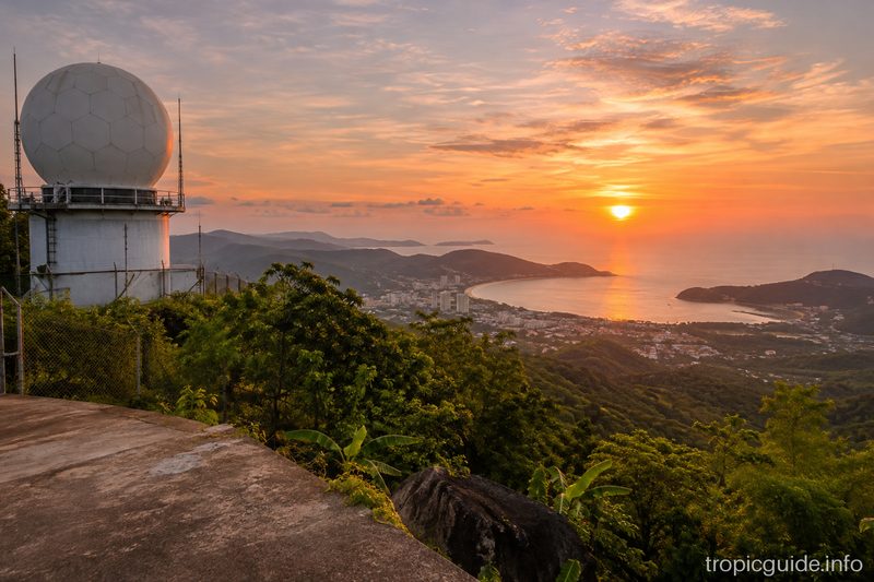
Radar Hill Viewpoint
Almost the summit of Khao Mai Thao Sip Song (about 500 m) by an army radar: Patong on one side, Chalong Bay on the other. A steep road from Chalong.
Very steep road; the summit is a military zone, no photos of the station. Go in clear weather: the top is often in cloud.
About the place
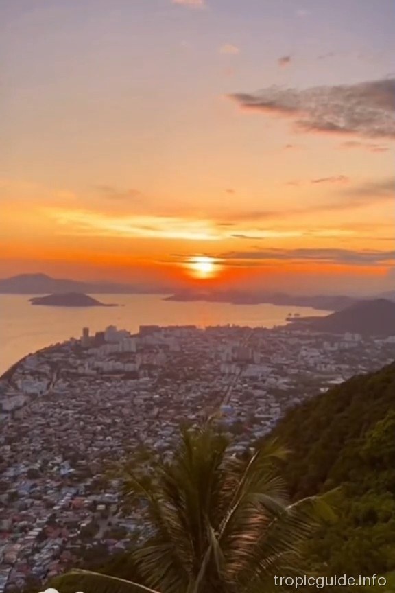
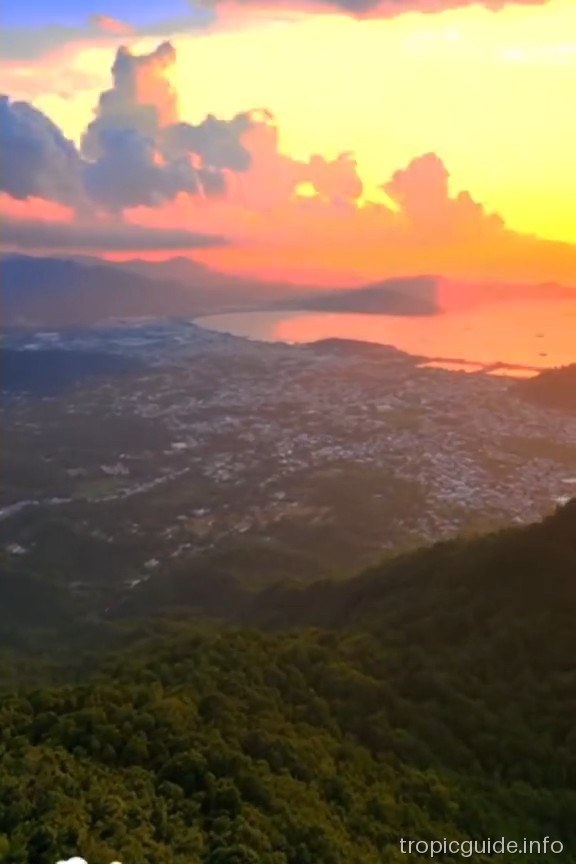
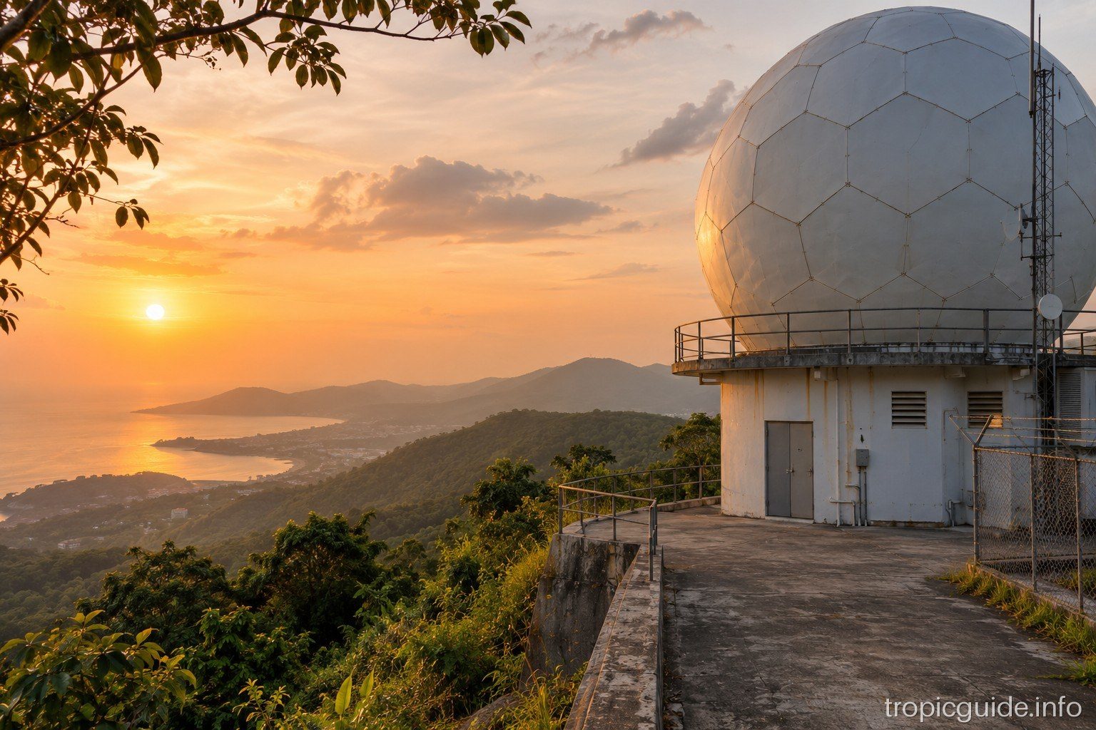
Radar Hill is Khao Mai Thao Sip Song, the mountain behind Patong and one of Phuket's highest points; on top stands the white dome of an army radar station, visible from most of the south of the island. A paved road climbs almost to the top, with views of Patong and the Andaman Sea on one side and of Chalong Bay, Phuket Town and, on a clear day, Phang Nga on the other.
There is nothing at the top: no cafe, no railings, just a couple of tables for a break. About 95% of the way up there is a guarded gate to the military zone and you cannot go further; you can leave a scooter or car before the restricted-zone sign and walk up a gentle slope to a point with a wider view. Lower down the road, at about 370 m, there is a roadside pull-off with views over Patong and Chalong Bay.
The road is very steep in places: according to a 2010 blog, a 125cc scooter struggles and a car needs good brakes. The top is often in cloud, so go on a clear day, preferably in the morning. This is a military site: don't photograph the station or the gate, and leave if the guards ask you to.
The height is given differently — about 500 m at the gate, 529 m in many guides. Few tourists come here: most go to the Big Buddha or Khao Rang. On the way up you can see Bang Wad Reservoir.
Getting there
From Central Phuket along Chao Fa West Road towards Chalong; about 1 km north of Wat Chalong turn right at the green Villa Zolitude sign, past a golf course and the villa, then climb. The sign is easy to miss; if you reach Wat Chalong, turn back. You need a scooter bigger than 125cc or a car.
Photos
Questions and answers
How do I get there?
Along Chao Fa West from Central Phuket towards Chalong; 1 km before Wat Chalong turn right at the Villa Zolitude sign and up the steep road.
Can I drive to the very top?
No: near the top there is a guarded gate to the military zone. You can park before the restricted-zone sign.
How much does it cost?
Free; there is no ticket booth or built viewing platform.
When should I go?
On a clear day, preferably in the morning: the summit is often in cloud.
How much time should I allow?
About half an hour at the top plus 15–20 minutes up and down.
Who is it not for?
Beginners on a weak scooter: the road is very steep in places. Those who want a cafe and a proper platform.
What can I combine it with?
With Wat Chalong at the foot of the hill, the Big Buddha and Bang Wad Reservoir.
What is the dome on top?
An army radar station; that is why the top is closed, and you shouldn't photograph the gate or the station.