Tropic Guide

Black Rock Viewpoint
A slope of black rocks above Nai Harn Bay: 5–7 minutes up a steep trail from the road south of Karon Viewpoint. About 40 minutes; trainers needed.
Steep 5–7 minute trail, trainers needed, slippery in the rain; no shade or water at the top, come down before dark.
About the place
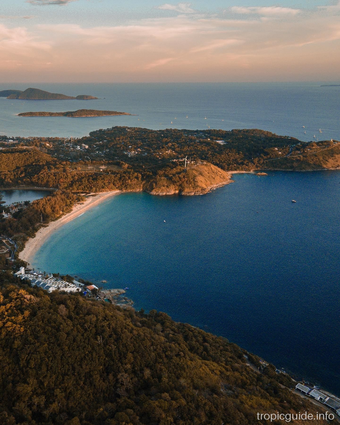
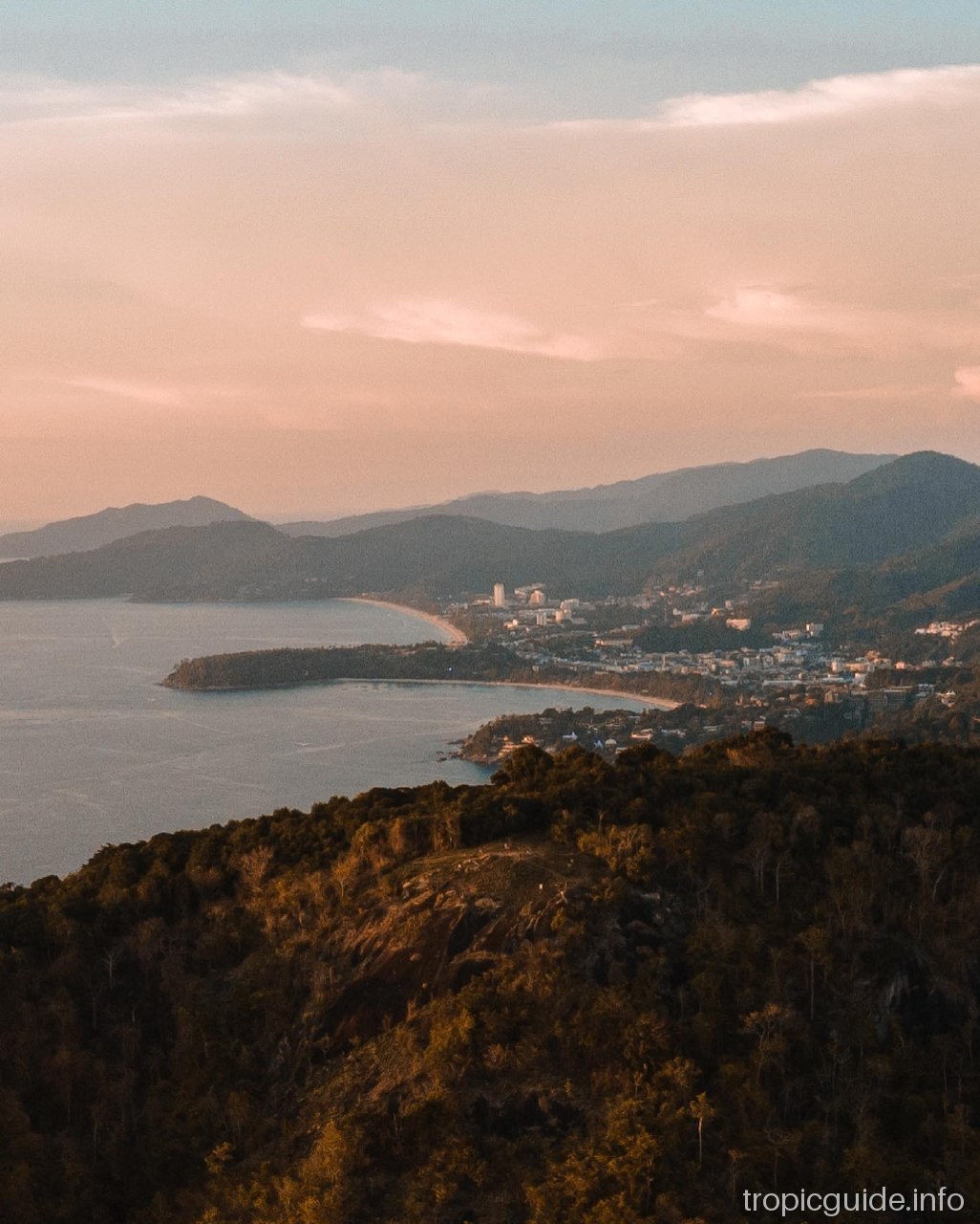
Black Rock, in Thai Pa Hin Dam, 'Black Rock', is an open slope of flat dark stones above the bays of Nai Harn and Ao Sane. From here you can see Nai Harn, Windmill Viewpoint, Ya Nui and Promthep Cape. The place is quiet and sees few visitors, which is rare for Phuket: people climb up for the view and photos on the rocks.
There are no facilities at the top: no kiosks, no toilets, no shade. Bring water, a hat and sunscreen. The short trail from the road is about 200 m, steep at the start, and the climb takes 5–7 minutes; flip-flops are risky, trainers are needed.
It is an open slope with no gate, but go in daylight and come down before dark. During the day the rocks are very hot, so morning or the hours before sunset are better. In the rainy season the trail becomes slippery. The sign at the trail is small and in Thai, so look for the rock with 'Pa Hin Dum' written on it.
There are also longer routes: from Rawai village via Black Rock to Laem Krating cape is about 4 km and 95 minutes, moderate to hard; the full loop is about 7.5 km. For a normal stop on a route, the short trail from the road is enough.
Getting there
The trail starts on the hill road south of Karon Viewpoint (Soi Leammumnai), on the right if you are heading towards Nui Beach. Cars and scooters are left on the roadside by a large rock with 'Pa Hin Dum' written on it; the trail is right opposite, across the road. You can also take a Bolt to this point. From there it is 5–7 minutes of steep climbing.
Photos


Questions and answers
How do I find the trail?
Drive past Karon Viewpoint on the road to Nui Beach; on the right there will be a rock with 'Pa Hin Dum' written on it, and the trail is opposite, across the road.
How long is the walk?
About 200 m and 5–7 minutes up, with a steep climb at the start.
How much time should I allow?
About 40 minutes including the climb up and down; the long route from Rawai takes about 1.5–2 hours.
What should I wear and bring?
Trainers or hiking shoes, water and a hat — there is no shade and no kiosks at the top.
Who is it not for?
People who find uphill walking hard, and small children; in the rainy season the trail is slippery.
What is nearby?
Karon Viewpoint, Kata Noi and Nai Harn beaches, then Windmill Viewpoint and Promthep Cape.
Where does the name come from?
The Thai name Pa Hin Dam means 'Black Rock': the slope is covered in flat dark stones.